Digital Innovation for Conservation: ASI’s App Empowers Indigenous-Led Mine Rehabilitation
A mobile-friendly digital app that empowers Indigenous Peoples and land-connected communities to lead mine rehabilitation monitoring efforts has been developed under an ASI project funded by ISEAL and in partnership with the ASI Indigenous Peoples Advisory Forum and conservation NGO.
30 July 2025
A mobile-friendly digital app that empowers Indigenous Peoples and land-connected communities to lead mine rehabilitation monitoring efforts has been developed under an ASI project funded by ISEAL and in partnership with the ASI Indigenous Peoples Advisory Forum and conservation NGO. The app exemplifies how technology can bridge modern scientific tools with traditional ecological knowledge to support long-term, inclusive biodiversity conservation outcomes.

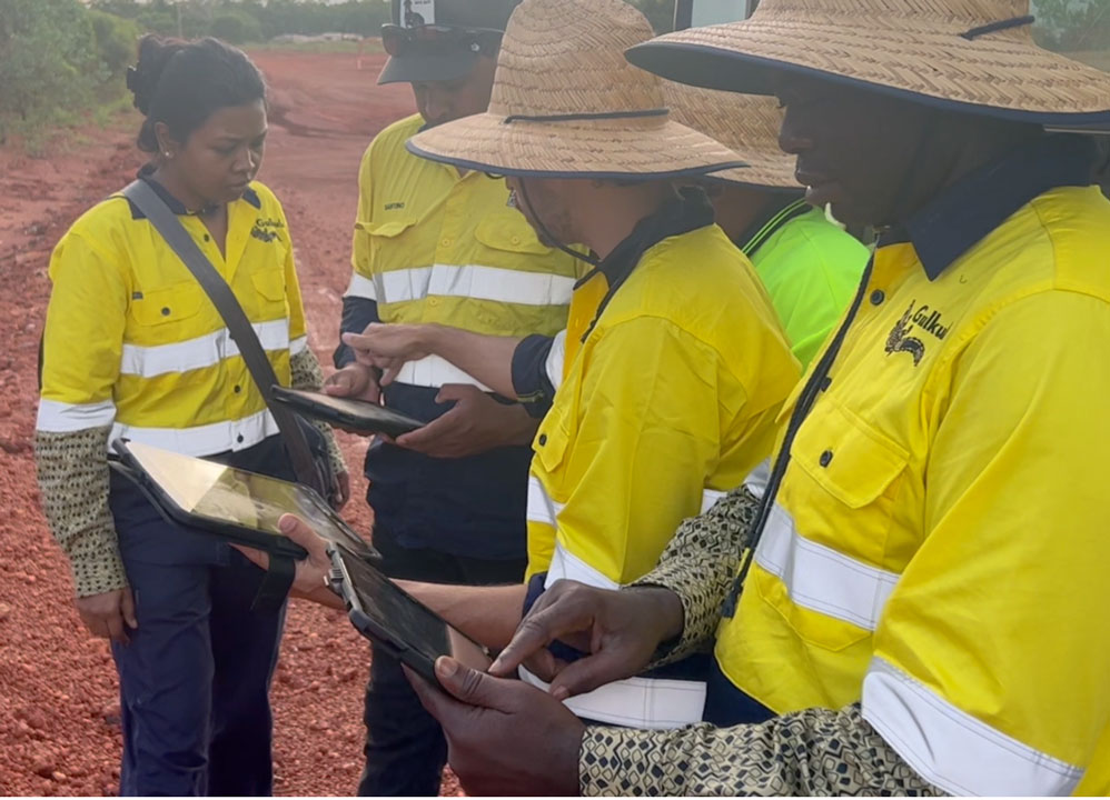
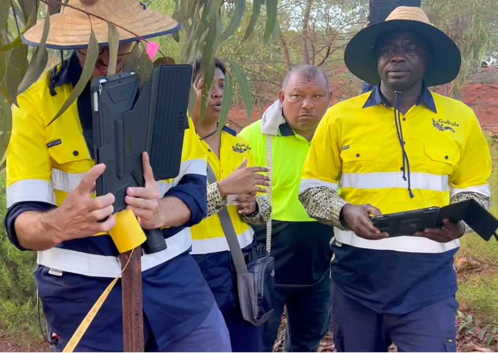
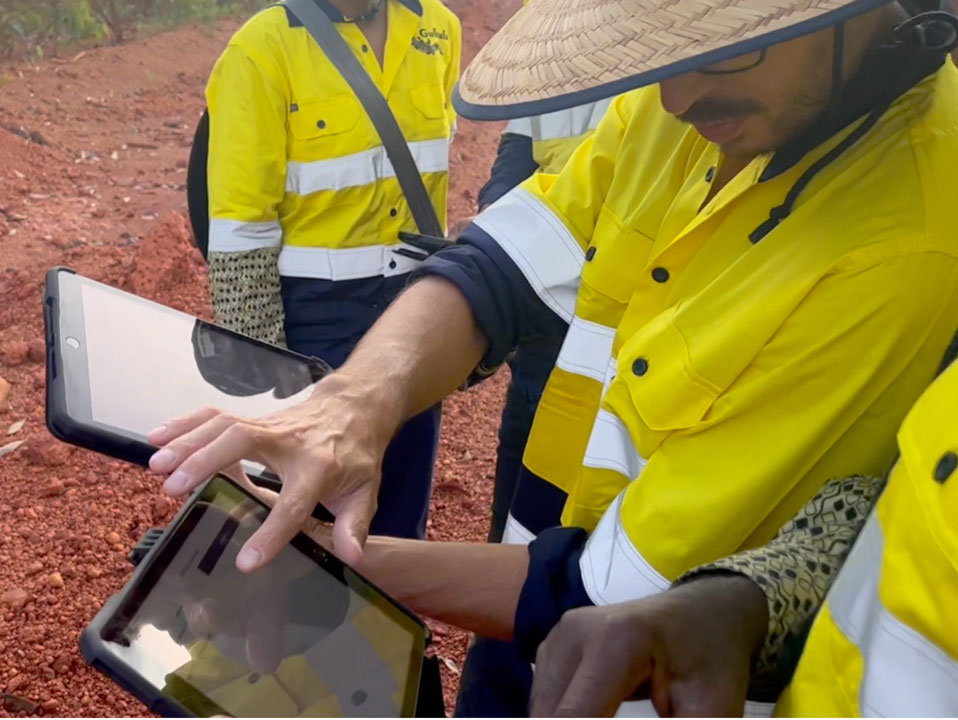
ASI’s new mine rehabilitation app in action
Originally created as a training resource in ASI’s mine rehabilitation and closure programme, the app now functions as a powerful, field-ready survey and monitoring tool. Designed for use in remote locations, it features an intuitive interface, GPS-enabled mapping, offline functionality, and customisable data fields — all without requiring prior technical expertise. Users can collect scientific data on vegetation cover, soil quality, species diversity, and erosion levels across defined land transects. At the same time, the app prompts the inclusion of visual evidence (photographs), geolocation data, and audio storytelling to capture the cultural and practical significance of the land for local communities.
Crucially, the app enables the integration of Traditional Ecological Knowledge (TEK) alongside quantitative data, ensuring that mine rehabilitation efforts align with both environmental benchmarks and community aspirations. It allows users to assess whether land is walkable, usable for hunting or harvesting plants, and culturally appropriate for traditional practices — perspectives often overlooked in conventional rehabilitation assessments. This human-nature connection the reconnecting of fragmented landscapes is essential to conservation, as rehabilitating land in a way that supports biodiversity and local stewardship helps ensure long-term protection and care.
The data collected through the app can be exported to dashboards and spatial mapping platforms, allowing for long-term tracking of rehabilitation progress — including setbacks caused by fires, storms, or invasive species. By making monitoring participatory and transparent, the app helps communities hold companies and governments accountable to agreed mine closure outcomes, especially those developed through Free, Prior and Informed Consent (FPIC) processes.
In a world where ecosystems and communities are increasingly impacted by resource extraction, ASI’s app offers a compelling model for environmental innovation — one that connects people and plants, empowers local knowledge, and uses technology not to replace, but to elevate, the wisdom of those most closely tied to the land.
For more information, contact Mark Annandale, ASI’s Director of Research and IPAF Adviser.
RELATED TOPICS:
IPAFmine rehabilitationnature positive
SHARE THIS ARTICLE